Granite bays and varied walks
Freycinet combines a signature bay with short and longer walking choices; use the visitor centre as the planning anchor rather than treating every walk as interchangeable.
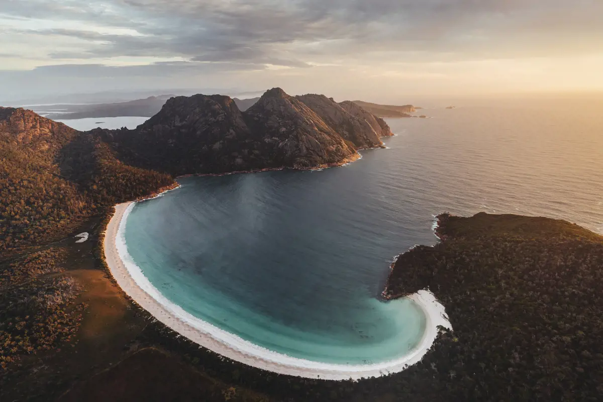
Tasmania’s East Coast
Travel the East Coast as a sequence of distinct coastal bases: Freycinet for walks and granite bays, Bicheno for a small-town evening, Maria Island for a ferry-linked day, and Bay of Fires for its northern beaches.
View this region on the interactive mapRegional highlights
Freycinet combines a signature bay with short and longer walking choices; use the visitor centre as the planning anchor rather than treating every walk as interchangeable.
Maria Island is a car-free, ferry-linked island day with history, wildlife and tide-sensitive coastal features.
Bicheno and Bay of Fires support a slower coastal sequence rather than being minor additions to a Freycinet day.
Subareas
Plan a walking-focused day around the visitor centre, Wineglass Bay, Hazards Beach and short coastal stops.
Use Bicheno for coastal geology by day and a separately booked evening wildlife experience where appropriate.
Build the day around the ferry and walking priorities, not around a driveable road itinerary.
Reserve time for Binalong Bay and the northern coastline rather than reducing the area to one photo stop.
Practical planning
Choose a base that matches the next morning’s priority: Freycinet walks, a Bicheno evening, a Maria Island ferry, or northern beaches.
Treat the Maria Island ferry and park entry as separate planning steps.
Freycinet, Maria Island and Bay of Fires have different access patterns, so give each its own pace.
Verify current park, ferry, wildlife-tour and tide information with the relevant official source.
Coastal light, sea state and walking conditions affect different stops differently; choose the day’s activity after checking its official source.
Suggested shape
1 day
Pick Freycinet, Maria Island, or a Bicheno–Bay of Fires segment; each needs its own pace.
2 days
Pair Freycinet with Bicheno, or Maria Island with the southern coast; do not schedule ferry and long walks without an official timetable check.
3 days
Continue north through Bay of Fires after a Freycinet and Bicheno sequence.
Regional map
The map opens pre-filtered to this region, without places from another region.
View this region on the interactive mapEditor’s selection
One of the world's most beautiful beaches, set in a perfect crescent.
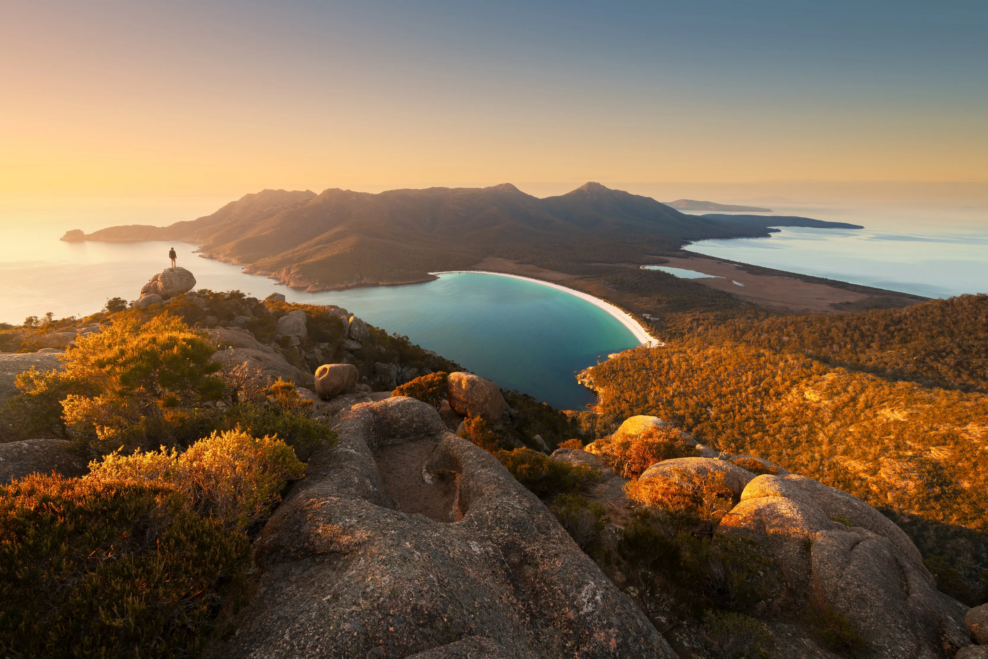
A wheelchair-accessible coastal walk with panoramic ocean views.
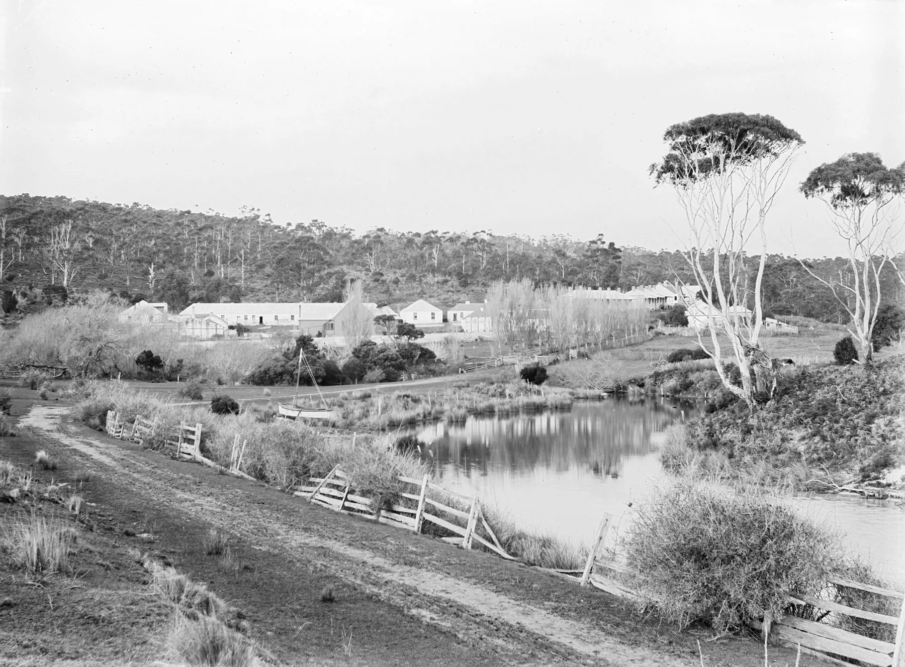
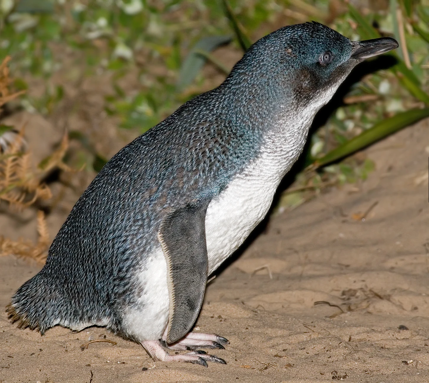
An evening guided tour to watch little penguins return to their burrows.
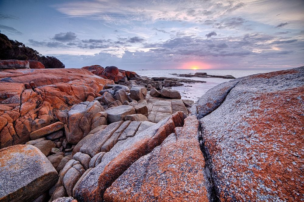
The gateway to the Bay of Fires, famous for orange lichen-covered rocks.
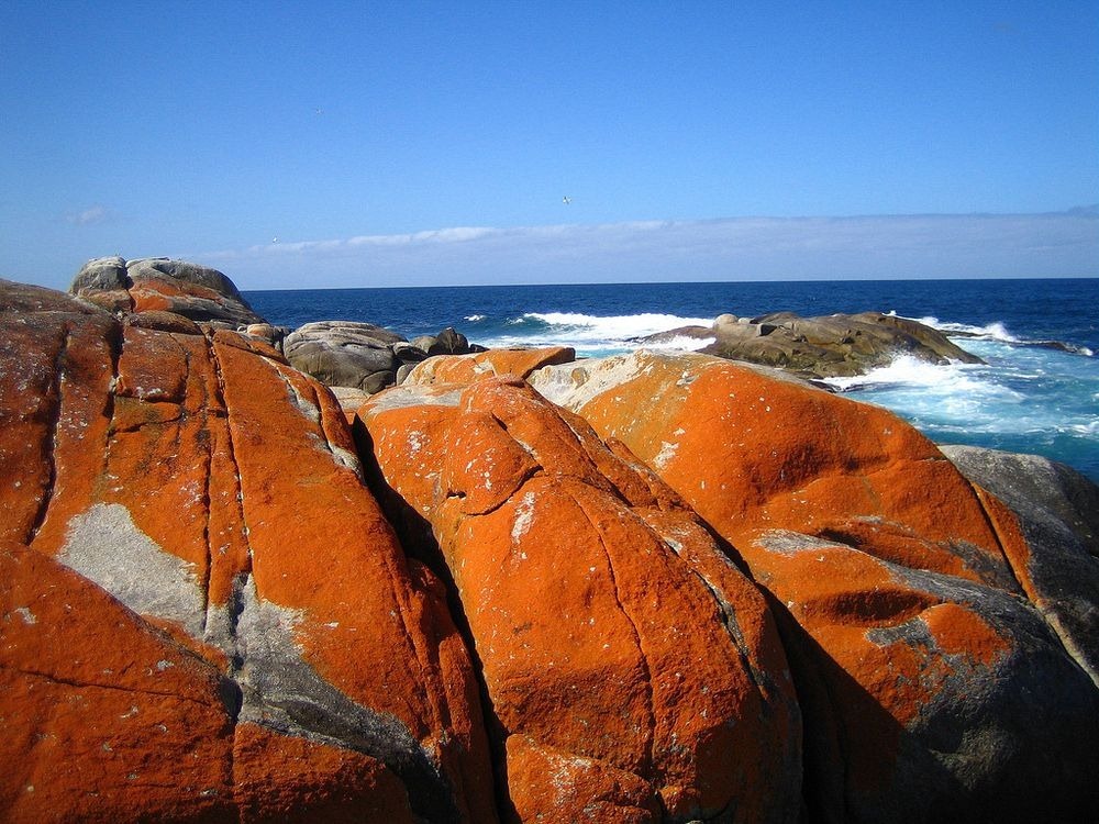
The most famous section of Bay of Fires with iconic orange granite boulders.
Keep planning
FAQ
No. Freycinet, Maria Island and Bay of Fires have different access patterns and should be chosen as separate priorities.
Start with the ferry and park requirements, then choose walking stops that fit verified crossing times and conditions.
Use the relevant place page and official park source before travel; this regional page is the route-planning overview.
Last reviewed: 2026-09-22
14 places
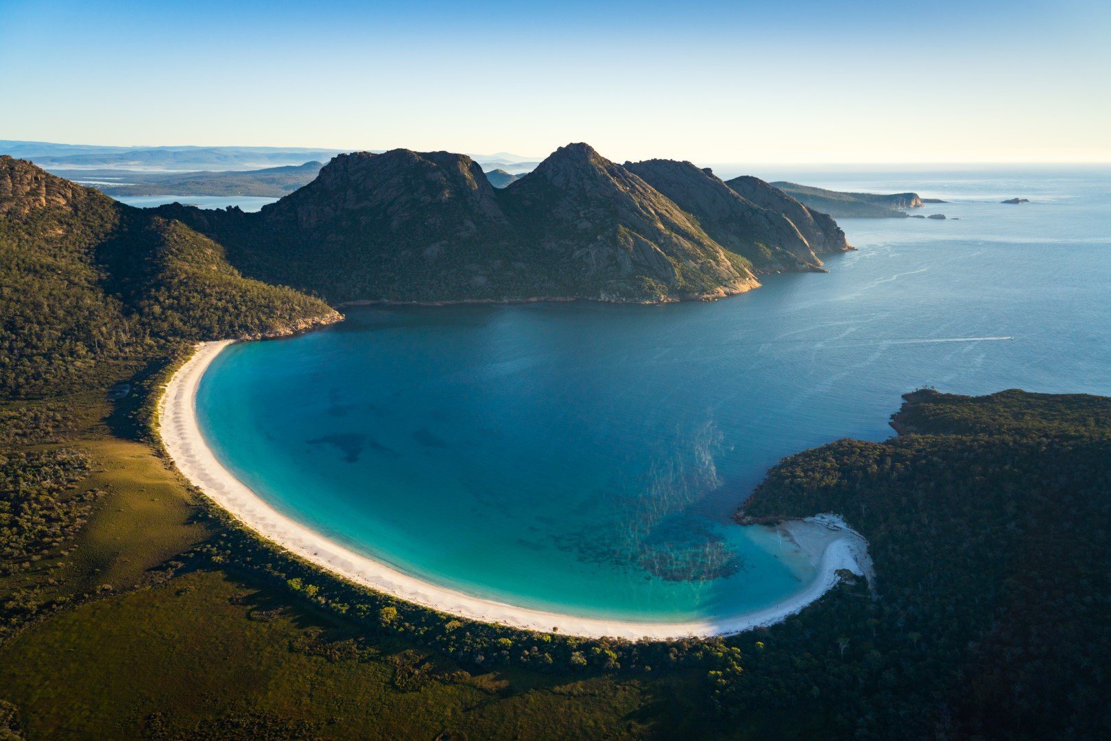
The gateway to Freycinet National Park and Wineglass Bay.
One of the world's most beautiful beaches, set in a perfect crescent.
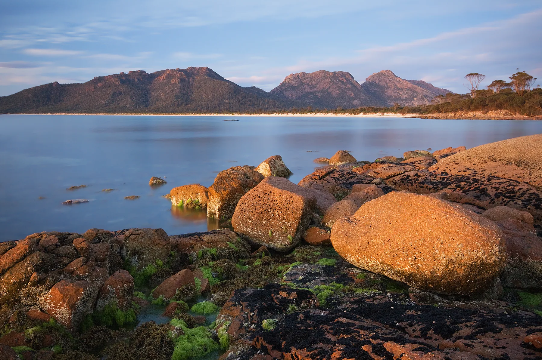
A secluded beach on the western side of the Freycinet Peninsula.
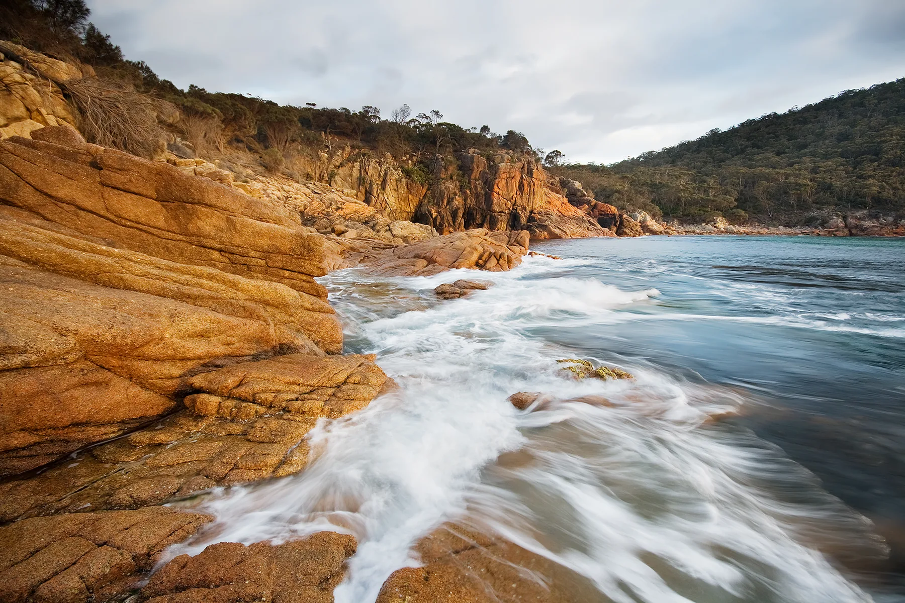
A sheltered cove with dramatic rock formations and crystal-clear water.
A wheelchair-accessible coastal walk with panoramic ocean views.
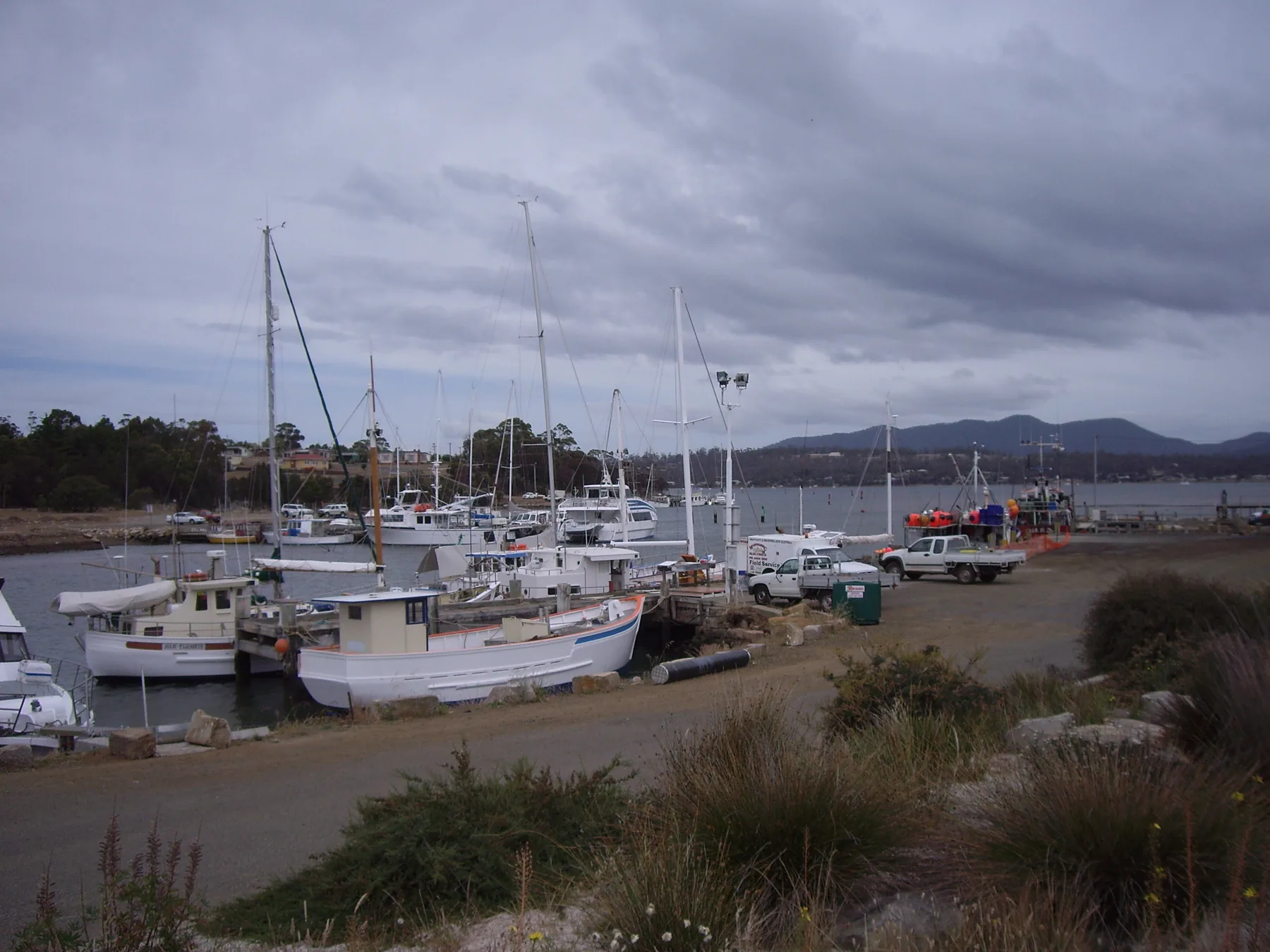
The main ferry departure point for Maria Island National Park.
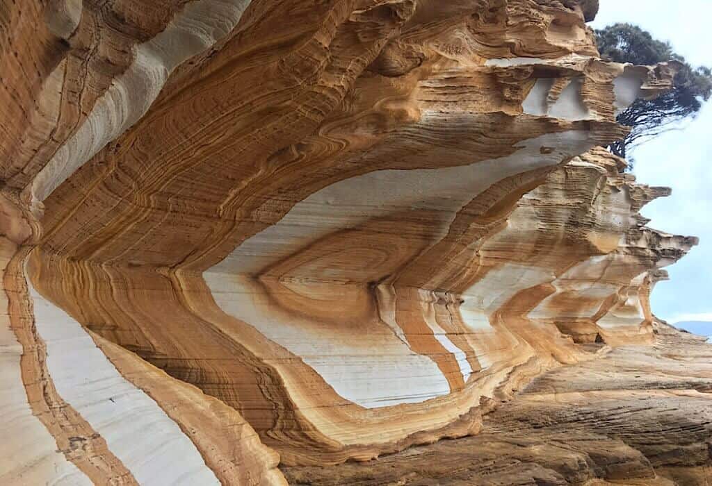
Colorful striped sandstone cliffs best viewed at low tide.
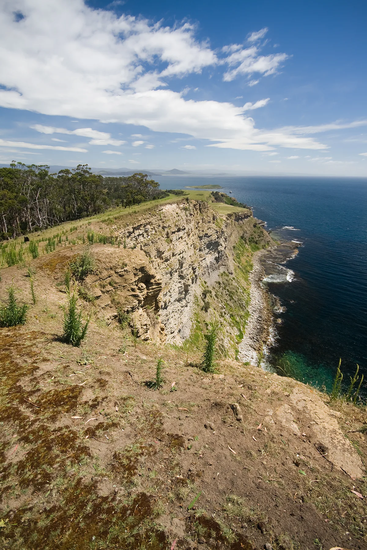
Limestone cliffs rich in ancient marine fossils.
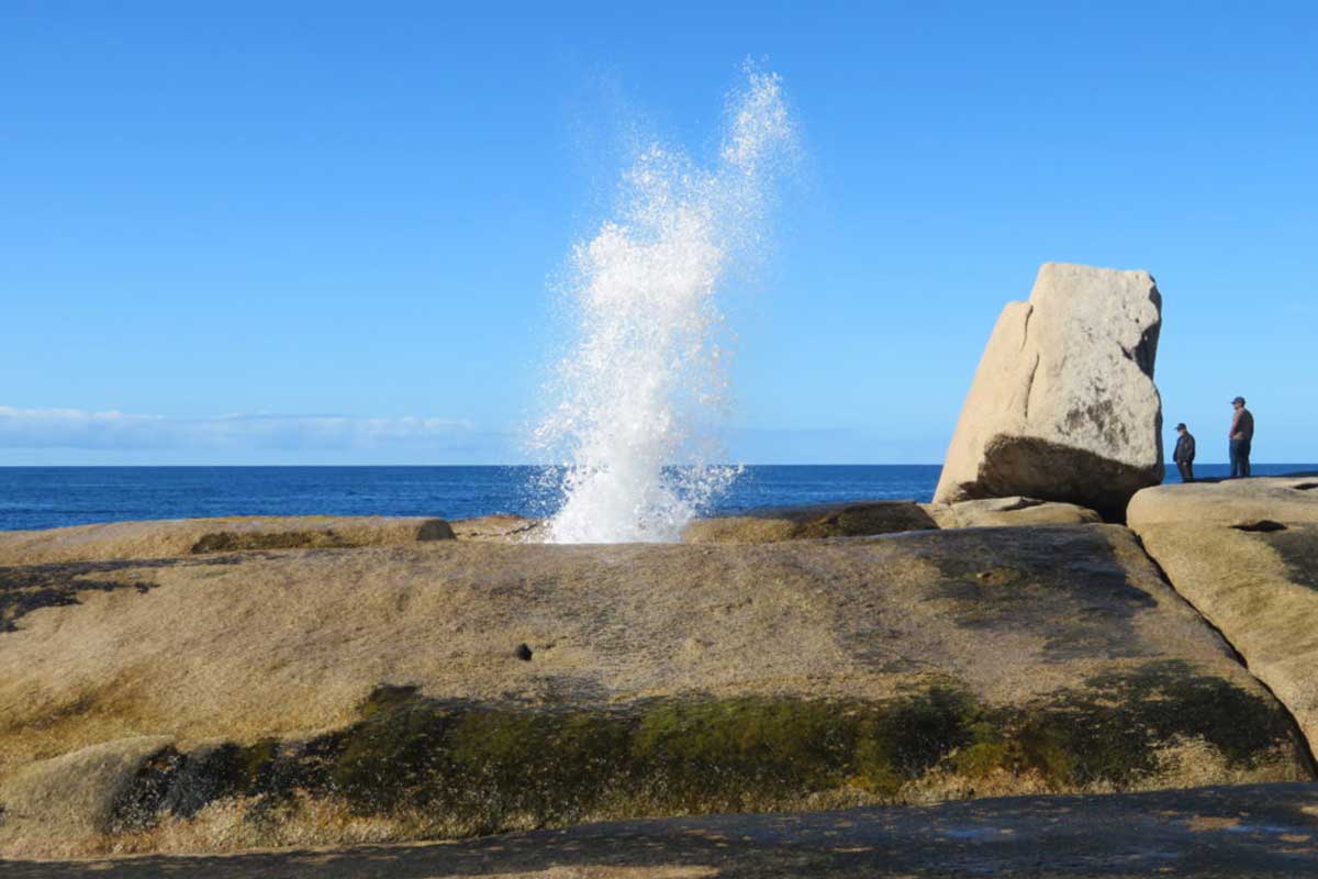
A powerful coastal blowhole that shoots water high into the air.
An evening guided tour to watch little penguins return to their burrows.
The gateway to the Bay of Fires, famous for orange lichen-covered rocks.
The most famous section of Bay of Fires with iconic orange granite boulders.
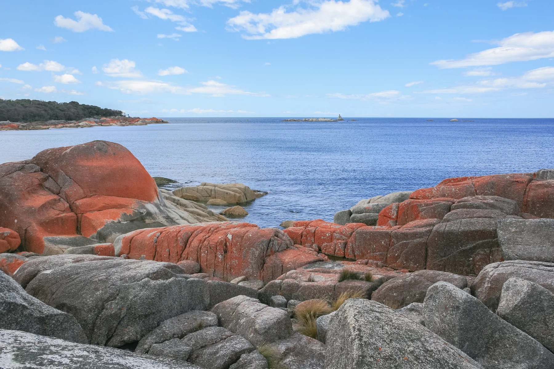
A sheltered camping area near the Bay of Fires photography hotspots.